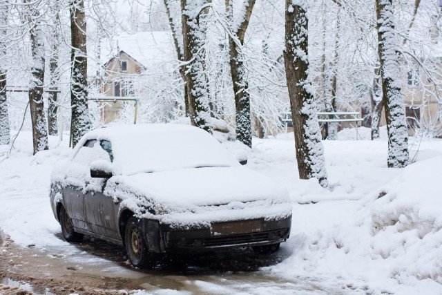
The biggest snowstorm of this season is poised to hit NYC, Boston and Philadelphia over the weekend.
The storm could bring the first widespread heavy snowfall of the winter to the Interstate-95 Northeast corridor, the northern and western suburbs of the I-95 cities and parts of the Appalachians.
Even where moderate snowfall occurs or snow changes to rain, the storm can easily be the biggest snowstorm of the winter so far and bring substantial travel disruptions.
The storm responsible for spreading snow into New Mexico and Texas into Thursday will spread a swath of snow and rain to a large part of the East Friday night and Saturday.
How much snowfall versus rainfall will depend on the track of what will become a significant coastal storm.
Since the storm is still a couple of days away and the exact track is still somewhat uncertain, a shift in track farther to the east or west by as little as 50 miles could have a huge impact on snowfall accumulation.
People traveling to, from or through the I-81 and I-95 corridors on spanning Friday night into Saturday night should expect major delays due to rain in the South and snow or a wintry mix farther north.
Accumulating snow is most likely to fall from the mountains of western North Carolina, eastern Kentucky and western Virginia to southern and eastern Pennsylvania, northern New Jersey, the lower Hudson Valley of New York state and southeastern and central New England. Enough snow is likely to fall to shovel and plow in this area.
Included in the potential swath of accumulating snow is the Interstate-95 corridor from Washington, D.C., and Baltimore to Philadelphia, New York City and Boston. Even though rain could mix in over all or part of this zone, roads will be slippery during much of the storm. Airline delays are likely with the potential for cancellations.
Motorists should expect difficult travel in the I-81 swath from Virginia to Pennsylvania due to slippery and snow-covered roads.
How quickly the storm strengthens will determine how nasty the weather gets in New England. A full-fledged nor’easter or blizzard could hit part of New England with blowing and drifting snow, as well as the potential for damaging wind gusts and coastal flooding.
The storm will behave differently than the storm from last Saturday in that in most cases this will be a snow, rain or snow/rain mix, rather than an extended period of freezing rain. Some sleet can be mixed in as the storm transitions to rain in some coastal areas of the mid-Atlantic and New England.
Over much of the southern Atlantic Seaboard and the Piedmont areas of the Carolinas, enough rain can fall to cause urban flooding problems. Where heavy rain follows heavy snow, along part of the mid-Atlantic and southern New England coasts, there can be street and poor drainage area flooding.
Another storm with snow may swing from the Midwest to the coastal Northeast during the first part of next week.
[youtube hHAalBamfyU 650]
