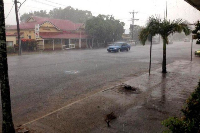
Category 3 Cyclone Ita has hit northern Queensland in Australia with “very destructive” winds of more than 140 mph.
The storm is crossing the coast near Cape Flattery and will head south-south-west overnight, Australia’s Bureau of Meteorology (BOM) said.
Residents in low-lying areas have been warned to prepare for damaging waves, strong currents and flooding.
It is the strongest storm to hit since Cyclone Yasi, which struck in 2011.
Previously classed as a category-five storm, it was downgraded by the BOM at 17:51 local time to category four, then category three when it hit the Cape York Peninsula.

However, the BOM warned it was still carrying “very destructive winds” of 140 mph.
In its bulletin at 23:00 local time, BOM said the storm was estimated to be 30 miles north of Cooktown and 135 miles north-north-west of Cairns.
Residents in coastal areas were also warned to expect a “dangerous storm tide overnight” and rising sea levels that could flood low-lying areas.
“People living in areas likely to be affected by this flooding should take measures to protect their property as much as possible and be prepared to follow instructions regarding evacuation of the area,” BOM said in its advisory.
Residents in the cyclone’s path – between Cape Melville and Cooktown – should “stay calm and remain in a secure shelter”, it added.
The Cape York peninsula is sparsely populated, with residents concentrated in a number of towns.
A cyclone warning is in place in coastal areas including Cooktown, Cape Melville, Port Douglas and Cairns, and several inland areas.
Cooktown Mayor Peter Scott said in quotes carried by ABC that around 350 people were in the town’s cyclone shelter.
Cyclone Ita brought torrential rain to the Solomon Islands late last week, causing flash floods that left at least 21 people dead.
[youtube nPqu8d0vKo4 650]